- Monthly visits
- 0
- Pricing
- Free
- Listed
- 2025-03-24
- Updated
- 2026-08-25
01Product Positioning
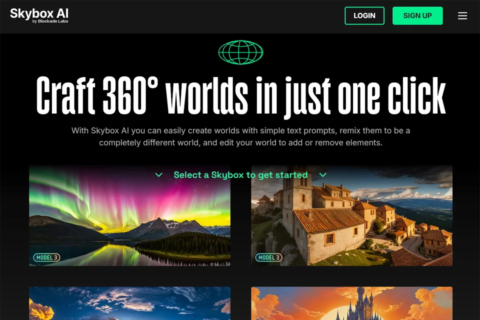
Skybox AI is designed for creators who need to build environmental visual assets quickly. Its core purpose is to generate 360° panoramic images and 3D scenes. By using text descriptions or hand-drawn sketches as inputs, it helps users move from a scene concept to a visual draft.
The product is suitable for concept design and immersive environment creation, and can serve as a pre-production tool in game, VR/AR, film, and architectural visualization workflows.
02Key Features
The tool supports text-to-scene generation, allowing users to describe an environment's theme, atmosphere, or visual content in natural language. It also supports sketch-to-3D-world generation, creating scene details from a rough outline drawn by the user.
Generated results can be adjusted through scene remixing to change their style and atmosphere. The tool also offers depth-map export and dynamic 3D exploration. Available materials indicate that the product supports panoramic image output, and some scenes can be processed in subsequent 3D software workflows.
03Use Cases
Game developers can use it to explore visual directions for skyboxes, level environments, and open-world scenes. VR/AR designers can use the generated results to create drafts of immersive spaces.
Storyboard artists and digital artists can apply it to concept scenes, atmosphere references, and explorations of surreal imagery. Professionals in architecture and industrial design can use panoramic images to envision indoor and outdoor environments and communicate design proposals.
04Usage Considerations
Skybox AI is better suited to early-stage ideation, visual exploration, and asset drafting than as a direct replacement for precise 3D modeling, material creation, or production-ready scene construction. Generated results may contain inaccuracies in structural relationships, perspective, text, and local details, so they require manual screening and refinement before formal use.
When integrating depth maps or panoramic images into other production workflows, users should also verify the file format, dimensions, and spatial effects against the target software and project requirements.
© Disclaimer: domains and linked content may change over time. AIEZZ does not control third-party websites. Review external content and risks independently.
User reviews0